Description
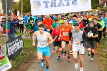
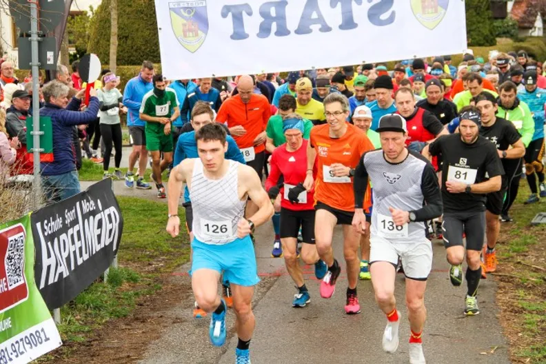
Der Gögerltrail ist ein anspruchsvoller hügeliger Cross-Lauf rund um das Erholungsgebiet Gögerl, Burgberg, Hechenberg, Butterberg, Feichtet, Eichberg, Deutenhausen und Ölschlag.
Die Veranstaltung bietet zwei unterschiedliche Strecken mit 12,5km (280Hm) und 7km (180Hm) bestehend aus geteerten Nebenwegen, gekieste und befestigte Forstwege, Waldpfade, Wiesen- sowie Wurzelpfaden sowie dem Schlussanstieg mit 70 Stufen.
Die Streckendetails findest du im Reiter „Karte“.
Schedule & program
Catering
Preise
Arrival and departure
Toiletten / Umkleide
Duschen
Hinweise
Wertungen / Altersklassen
1 community participant
Participation categories
Show detailsVenue & Routes
Show detailsAnalyze the routes, elevation gain and location information on an interactive map and download the GPS data.
GögerlTrail
This event is held annually.